The tropical Pacific has warmed into a strong El Niño that continues to intensify, and the consequences are showing up in weather far from the equator. Heat that built in the ocean is changing where rain falls, where drought takes hold, and how warm many regions feel this season. Meteorologists treat the pattern as a reliable guide to risk, not a guarantee of any single storm or dry spell.
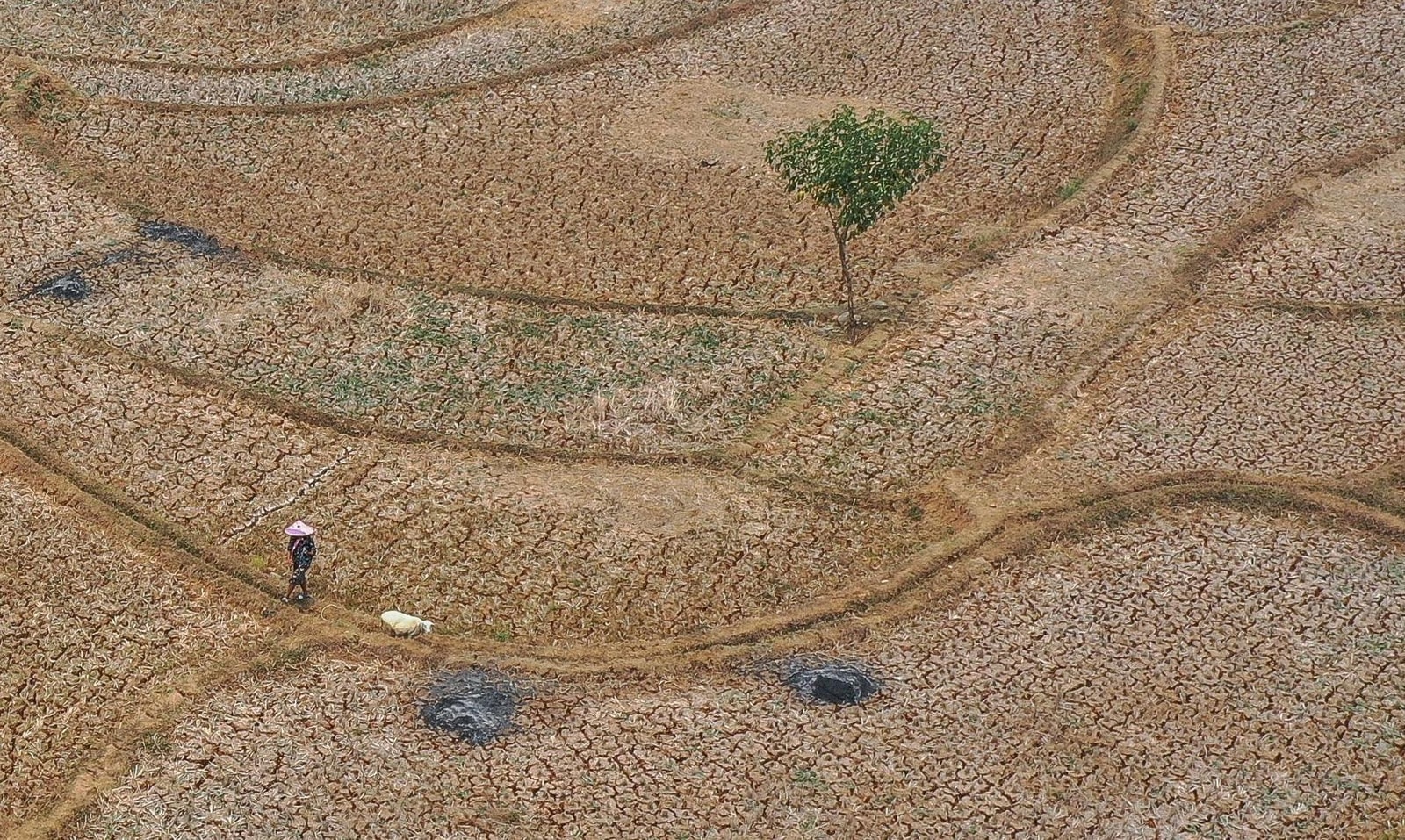
Australia, Indonesia and nearby islands often turn drier when El Niño is in force. Moisture that would feed monsoons is pulled east, leaving soils, reservoirs and forests under more stress. Fire agencies in those countries typically raise their alert levels once the Pacific signal is clear.
The eastern Pacific tells a different story. Coastal Peru and Ecuador can receive heavy rain after the usual cold current weakens, raising flood and landslide danger. Fisheries suffer when warmer water shuts down the upwelling that brings nutrients to the surface, a blow that has repeated in past El Niño years.
Meteorologists treat the pattern as a reliable guide to risk, not a guarantee of any single storm or dry spell.
In North America the signal is more mixed but still familiar. Winters in the southern United States tend to be wetter, while northern areas can be milder than usual. Over the Atlantic, stronger wind shear has historically reduced the number of hurricanes, though a quieter season is not the same as a safe one.
El Niño also leaves a mark on the global temperature average because the ocean sheds heat into the air. Coral reefs can bleach when surrounding water stays too warm for too long. The pattern is natural and cyclical, yet it now arrives on a planet that is already warmer, which can make heat waves and marine stress more intense than in earlier events.